
The Meseta Central: Defining the Continental Zone
Spain's continental climate occupies the Meseta Central — a vast elevated plateau averaging 600–800 m above sea level — and extends across the regions of Castile and León, Castile-La Mancha, Madrid, Extremadura, and parts of Aragon. This plateau covers roughly 40% of the Iberian Peninsula's surface area and sits surrounded by mountain ranges on multiple sides: the Cantabrian Mountains to the north, the Pyrenees to the northeast, the Iberian System to the east, and the Sierra Morena to the south.
These mountain barriers serve two climatic purposes: they block Atlantic moisture from reaching the interior, creating dryness, and they prevent cold Arctic air from rapidly moderating, allowing temperatures to drop far lower in winter than sea-level latitude would suggest. Simultaneously, they trap summer heat, allowing the plateau to build up extreme temperatures over prolonged hot spells.
Seasonal Temperature Patterns
Winter (December–February)
Winters on the Meseta are distinctly cold by Iberian Peninsula standards. Madrid, despite being at 40°N latitude — roughly the same as New York — experiences January averages around 6°C, with overnight minimums regularly dropping below 0°C. Snow falls on the Spanish capital most winters, though accumulation rarely persists more than a day or two at city level.
Further north across Castile and León, the cold intensifies. Burgos, at 860 m elevation, averages below 4°C in January, with occasional stretches of sub-zero conditions lasting a week or more. Ávila, at over 1,100 m elevation and one of the highest provincial capitals in Spain, records some of the coldest winters in the peninsula — frost can occur in any month except July and August in extreme years.
The mountains surrounding the plateau receive reliable snowfall each winter. The Guadarrama range immediately north of Madrid draws ski resorts within an hour of the capital, while the Sistema Central peaks above 2,000 m accumulate multi-month snow cover.
Ávila, at 1,131 m altitude, holds the record for the coldest provincial capital in Spain, with January averages near 3°C and frequent frosts from October through April.
Summer (June–August)
The contrast with winter is stark. Madrid averages 31°C in July, but peak conditions regularly push well above that. Afternoon temperatures in the capital during July and August commonly reach 37–40°C. The record high for Madrid stands at 40.7°C, recorded in August 2021, during one of the Iberian Peninsula's most intense heat events in modern records according to AEMET data.
Interior Castile-La Mancha and Extremadura experience even more extreme summer heat. Toledo — 70 km south of Madrid and at a slightly lower elevation — frequently records temperatures above 40°C in summer. The Tagus and Guadiana river valleys south of the Meseta trap heat in the driest, most baked landscape on the peninsula.

Spring and Autumn: Brief Transition Seasons
One notable characteristic of the continental climate is the brevity of transition seasons. Spring arrives late — April can still bring frost — and autumn turns cold quickly from late September. This compresses the comfortable window considerably compared to coastal areas. May and October are generally considered the most balanced months across the interior.
Precipitation on the Meseta is modest and spread across the year, with a slight peak in spring and autumn. Madrid averages around 430–460 mm of annual rainfall. The northern plateau (Valladolid, Salamanca, Zamora) is marginally wetter due to proximity to Atlantic systems that breach the northern ranges. The southern interior (Toledo, Badajoz) is drier.
| City | Altitude (m) | Jan Avg (°C) | Jul Avg (°C) | Annual Rain (mm) |
|---|---|---|---|---|
| Madrid | 667 | 6 | 24 | 436 |
| Toledo | 529 | 6 | 26 | 370 |
| Valladolid | 694 | 4 | 22 | 460 |
| Salamanca | 800 | 4 | 22 | 380 |
| Ávila | 1,131 | 3 | 20 | 400 |
| Badajoz | 185 | 9 | 28 | 490 |
Source: AEMET. Long-term averages. Jul values reflect monthly mean maximum temperatures.
Sub-Regional Differences Within the Interior
Castile and León: The Cold Plateau
The northern Meseta — Castile and León — is the coldest sub-region within the continental zone. The flat landscape, high elevation, and proximity to the Cantabrian Mountains create conditions where cold air pools readily during anticyclonic winter periods. Burgos, Valladolid, and Zamora are particularly exposed to the "nine months winter, three months hell" description often applied colloquially to the Castilian climate — an exaggeration, but one capturing the extreme seasonal contrast.
The region's agricultural landscape — dominated by cereal crops, vineyards in the Ribera del Duero, and oak-forested hills — is adapted to these conditions. Vineyards here benefit from the extreme diurnal temperature variation, which preserves acidity in grapes grown under intense summer sun.
Castile-La Mancha: The Hottest Interior
South of the Tagus River, the landscape opens into the flattest part of the Meseta — Don Quixote's La Mancha. This region combines the aridity of the southern interior with extreme heat. Annual rainfall in parts of La Mancha falls below 350 mm. The plateau here sits lower than northern Castile, which intensifies summer temperatures. The province of Ciudad Real regularly competes with Córdoba and Seville for Spain's highest summer readings.
Madrid and the Urban Heat Island
Madrid's climate data reflects both the natural continental conditions and a significant urban heat island effect. The city has warmed measurably over the past 50 years, in part due to urban expansion absorbing heat. Suburban and rural stations in the Comunidad de Madrid record temperatures several degrees cooler than the city centre during still summer nights.
Mountain Climates Within the Continental Zone
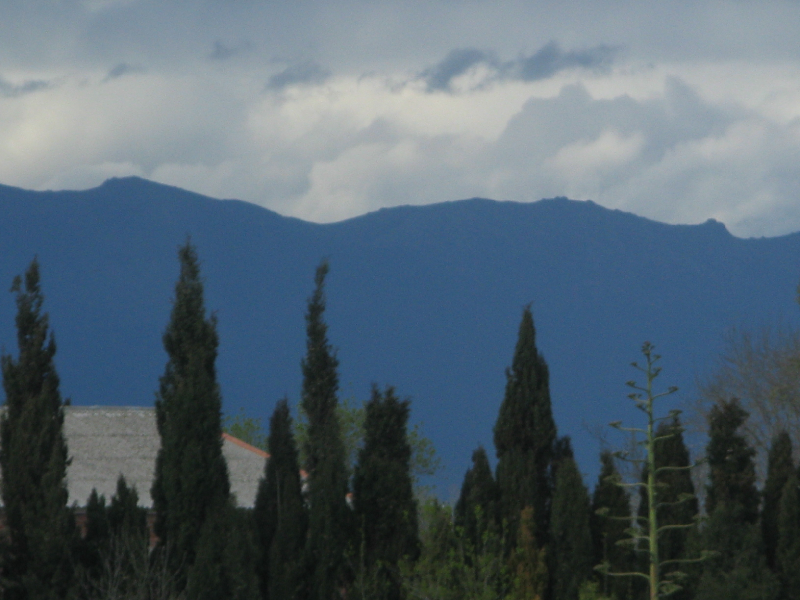
The mountain ranges dividing the Meseta introduce altitude-modified conditions at higher elevations. The Sierra de Guadarrama, Sierra de Gredos, and Serranía de Cuenca all create alpine zones where snow can fall from October and persist through April. The highest point in the region, Peñalara (2,428 m), can hold snow patches into July. These mountains feed rivers including the Tagus, Duero, and Guadiana that water the agricultural lowlands.
Best Periods to Visit
- April–May: Spring brings warming temperatures and occasional rain. Wildflowers cover Extremadura's dehesas. Comfortable conditions for city visits to Madrid, Toledo, and Salamanca before summer heat arrives.
- June: Warm but not yet extreme in most years. Useful window before July heat peaks.
- September–October: Summer heat fades after mid-September. Harvest season in the wine regions. Castile-La Mancha's saffron harvest occurs in late October. Ideal for hiking in the Guadarrama and Gredos ranges.
- November–March: Cold and dry, but cities are uncrowded. Madrid's cultural season is active. Snow excursions to Guadarrama are feasible from the capital on day trips.
Further reading: Wikipedia — Climate of Spain maps the full extent of the Csa and BSk classifications across the peninsula, including the Meseta zones.